LZ Stud – Vandegrift Combat Base

Please click images for slideshow
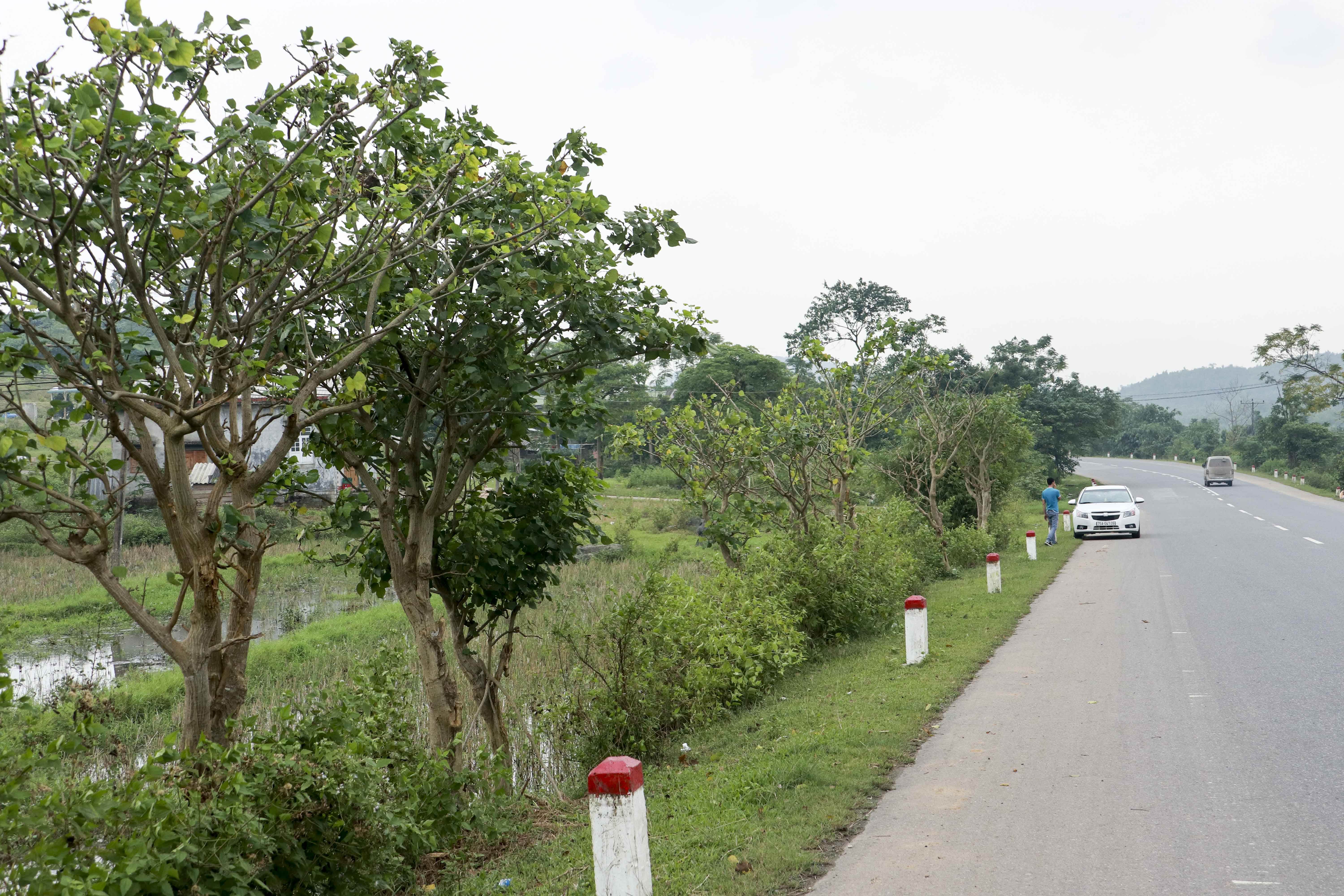
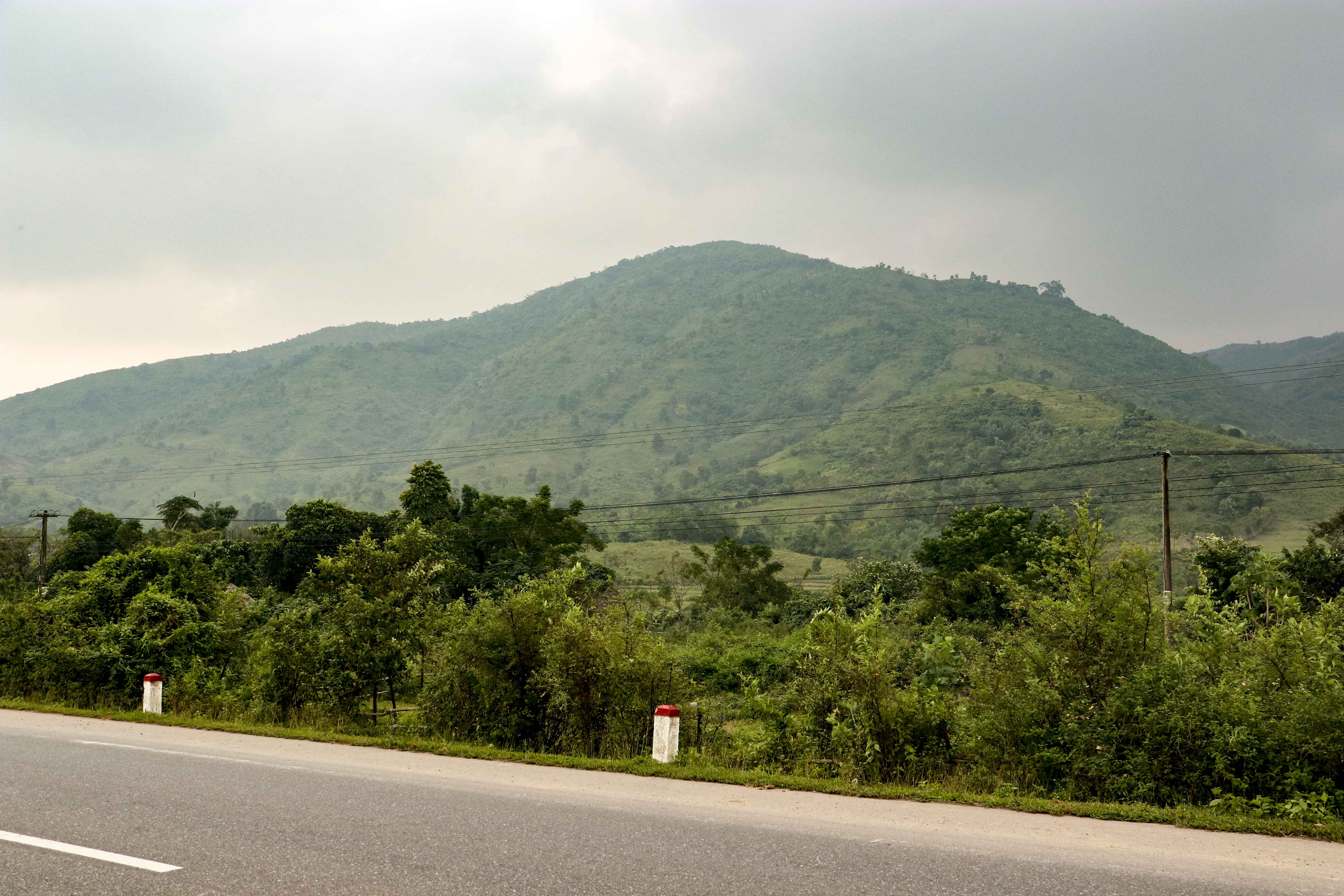
Along Route 9 in Quang Tri province, a number of Fire Support Bases were established in order to support the operations in this the northernmost province of the former RVN including the DMZ. With Dong Ha in the east and Khe Sanh in the west this cluster was supposed to prevent PAVN forces from penetrating RVN. The Route 9 was essential in supporting the bases but west of Camp Carroll or perhaps The Rockpile it was very difficult for US forces to keep the road open up those last about 25 kilometers up to Khe Sanh. This effectively meant that for US forces to supply Khe Sanh they had to rely on air transport. As PAVN:s and VC:s grip on Route 9 varied over time, the truck convoys that were sent anyway would sometimes run in to ambushes. Those especially took place a few kilometers west of The Rockpile where Route 9 stretches with the river on one side and steep mountains on the other. Driving there today one can easily understand why this was an ideal area for ambushes. Steep hills that gave a good view of the road and clear escape routes that were protected from the road.
Exploring this area is very interesting for any history traveler. So much history is packed in to a limited geography that can be covered within only a few hours, however considering the amount of historical sites one can easily spend several days there.
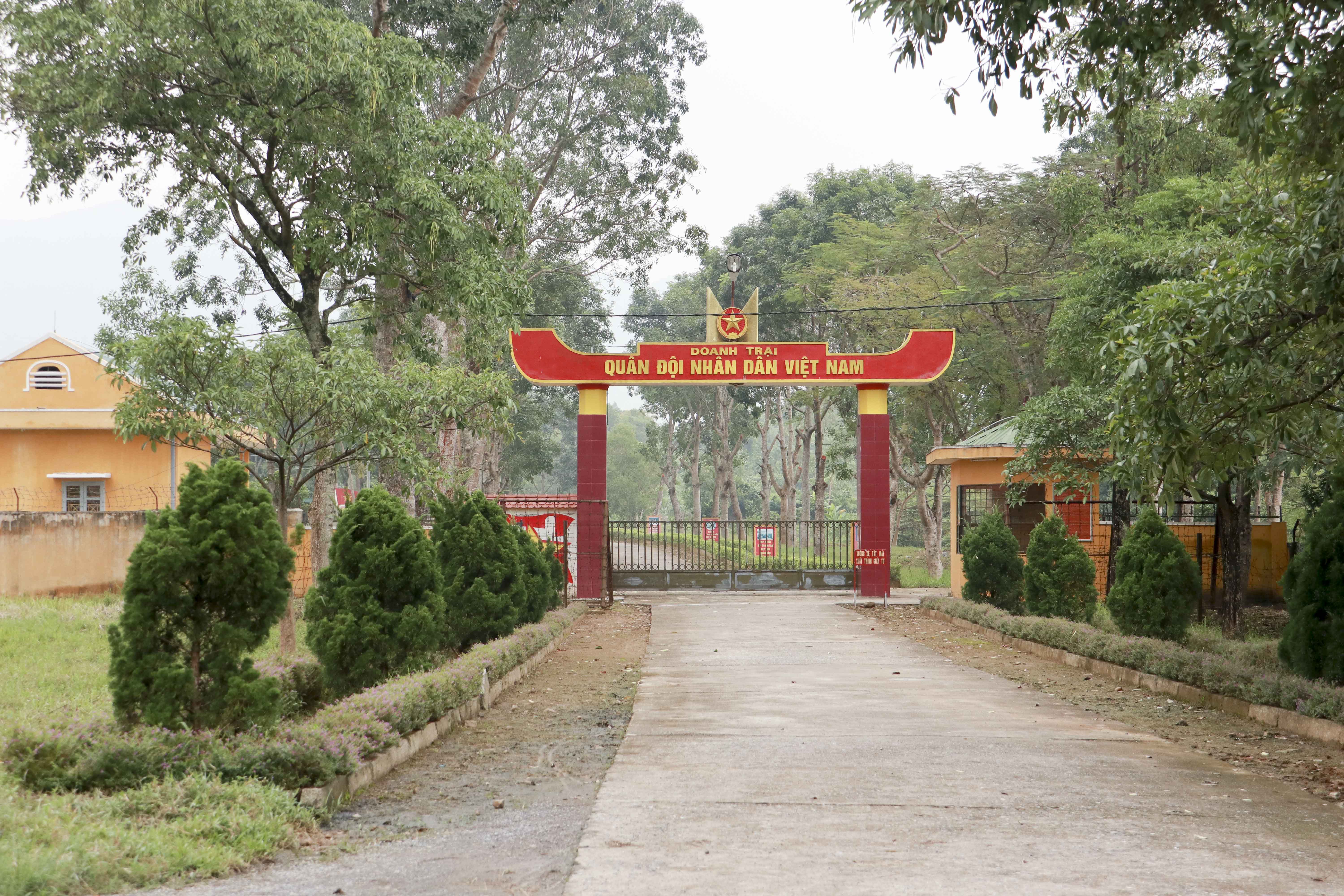
One very interesting spot is the former base that was originally named LZ Stud but later had its name changed to Vandegrift Combat Base. Located just a few kilometers south of The Rockpile along Route 9, it was originally established by the US Cavalry to support combat operations during Operation Pegasus in April 1968. The purpose of Operation Pegasus was to relief the Marines who was under siege at Khe Sanh Combat Base. Later on the Marines took over the base and renamed it Vandegrift Combat Base. It was also later used as a support base for Operation Dewey Canyon in 1969 and Dewey Canyon II in 1971.
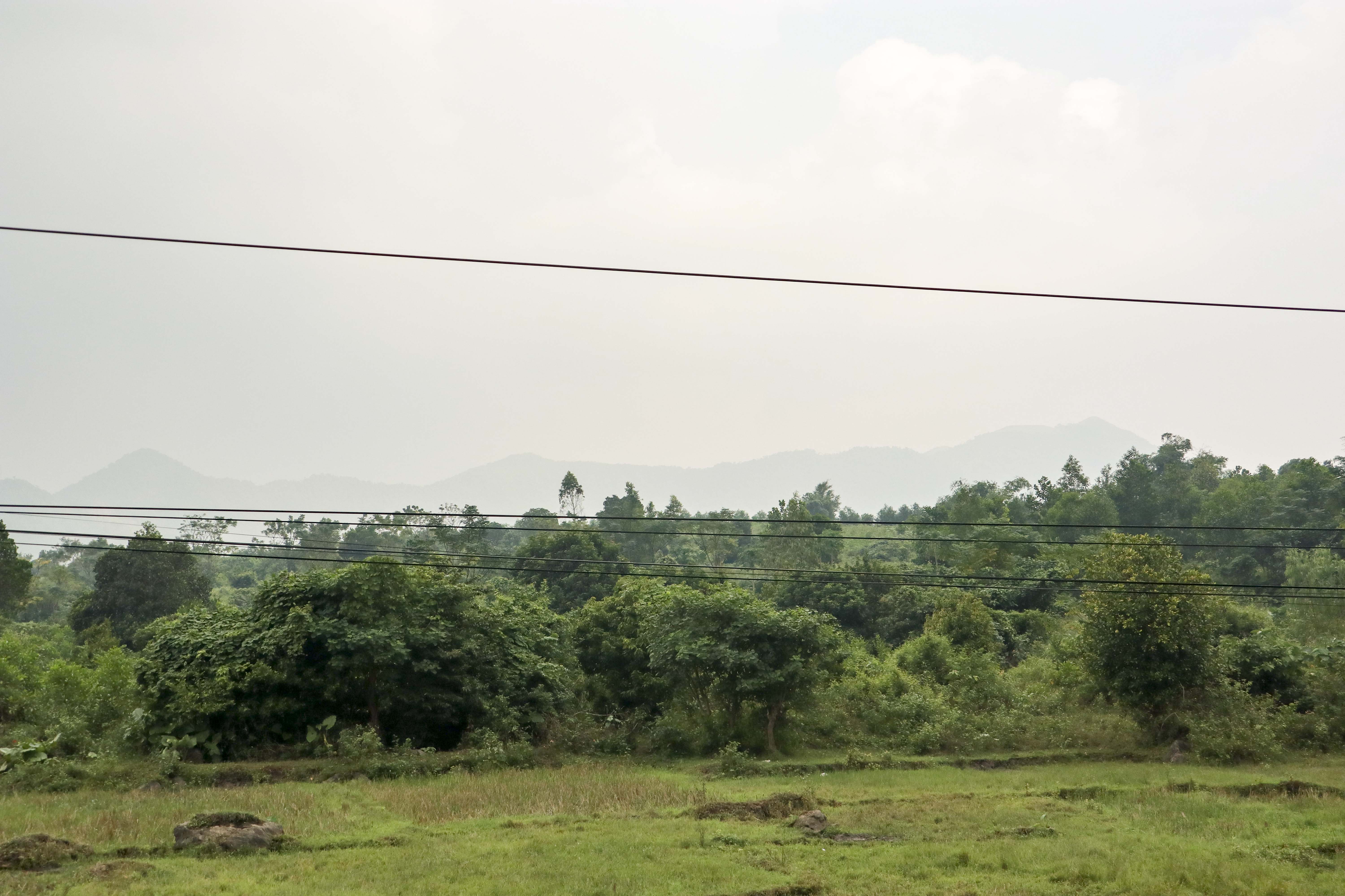
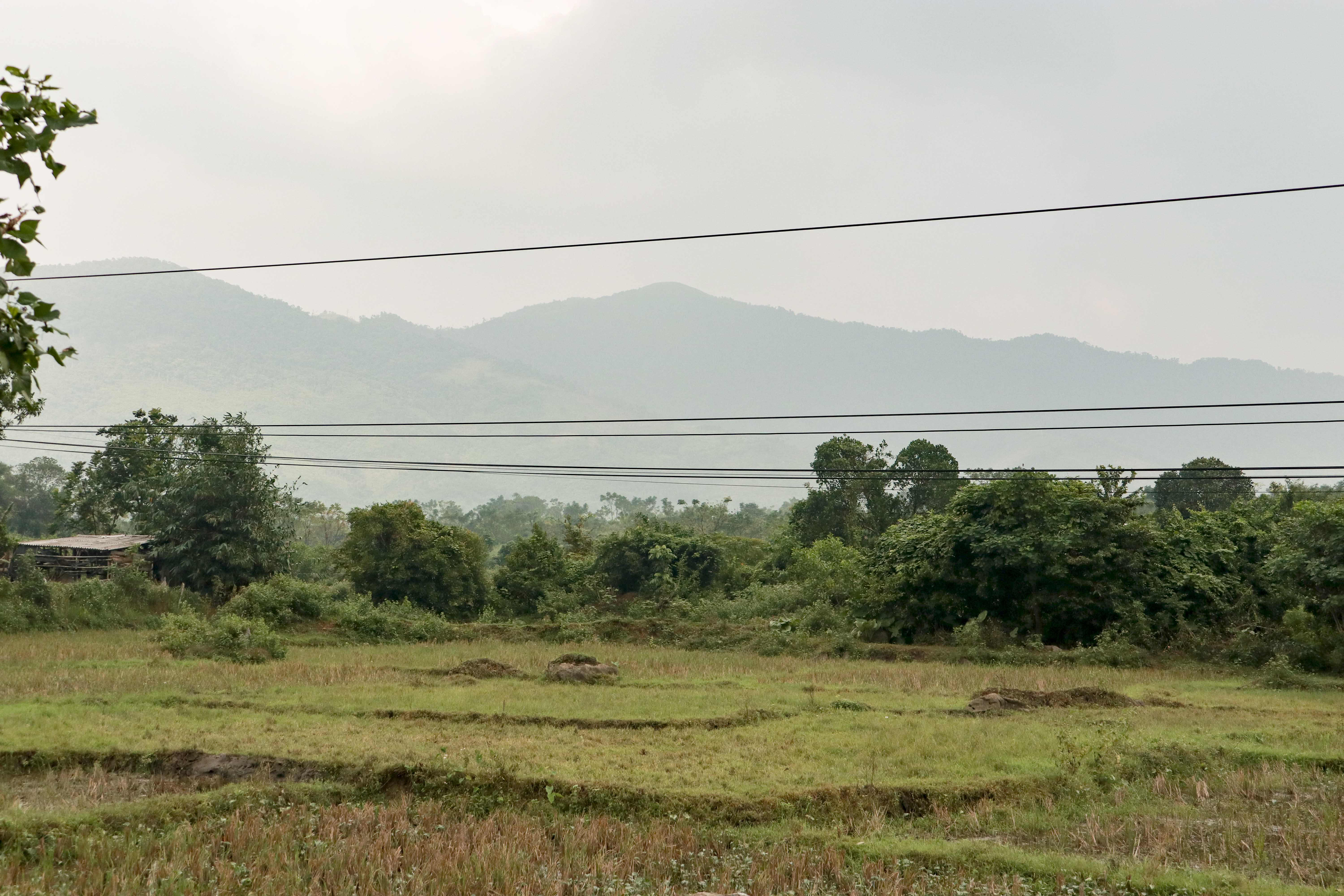
This is another good stop in the area along with the other bases. By getting a good overview of the geography and where the bases were located, one will get a better understanding of how the war played out south of the DMZ. Today the Vietnamese Army has an installation on the site which makes it inaccessible. It is possible though to stop a few hundred meters north of the site and get a good overview of the area.
JT
How to get there
Along Route 9, the base was located just east of the road below the mountains. Any DMZ tour will drive by here. A good landmark is The Rockpile when coming from Dong Ha, the road turns south and after a few kilometers the site is on the left.
Decimal coordinates are 16.7 106.88
Back to I Corps>>>