Aluoi Airfield
Established as early as 1962 as a Special Forces camp in the heart of the Ashau Valley, the Aluoi Special Forces Camp, also known as LZ Stallion, was used as a fixed installation to overlook the North Vietnamese infiltration in to the valley. In 1966 US forces were forced to abandon the base due to the increasing pressure from PAVN units. With the runway more or less still intact, the base was still used with smaller modifications later on for operations in the valley most famously during Operation Apache Snow.

Below is a video shot in October 2017 showing how we approach Aluoi and the airfield then driving the full lenght of the runway before we drive north out from town towards the northern parts of the Ashau Valley.
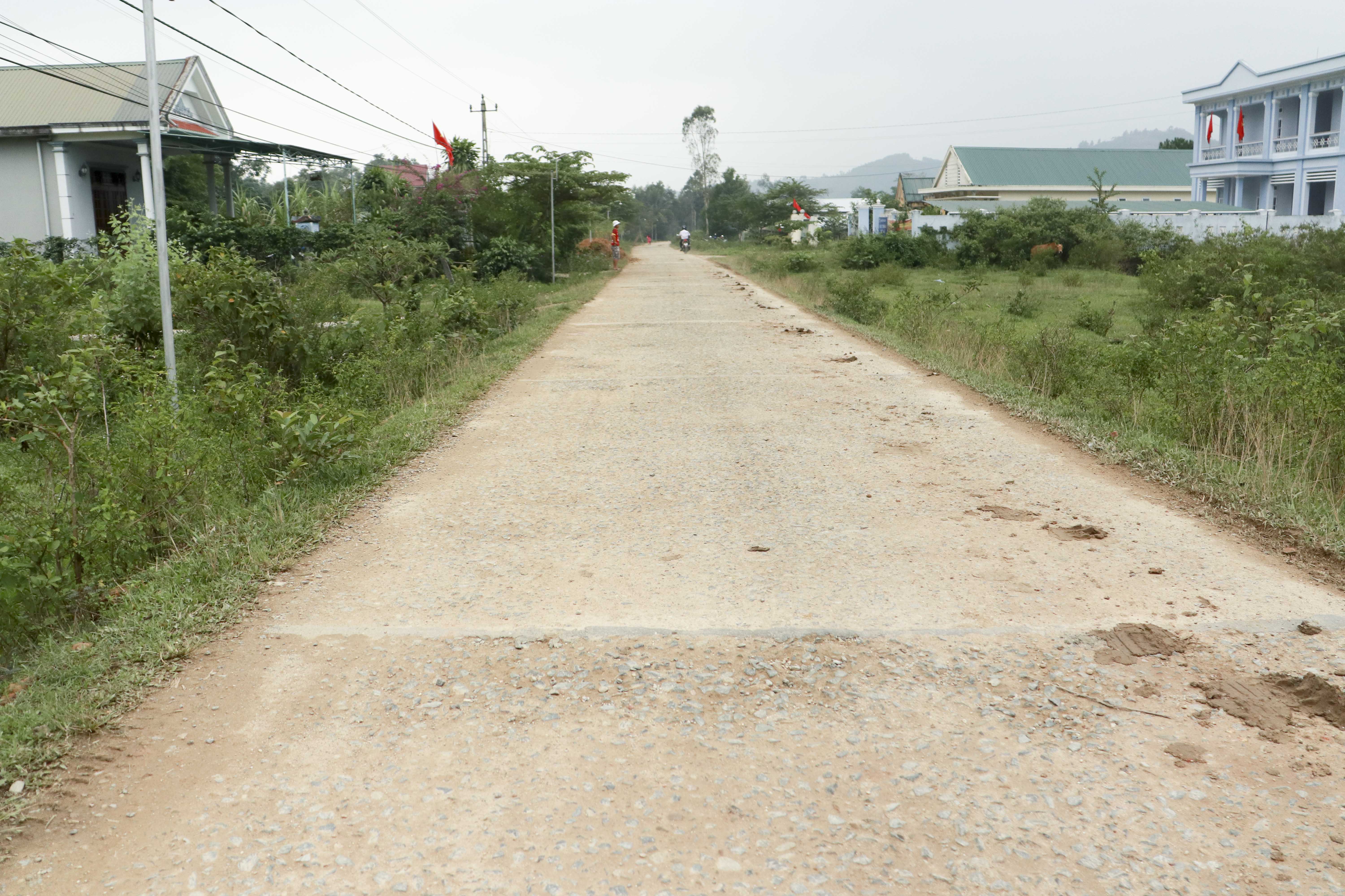
Today there are really no remains of the base except that the old runway is now used as a road in the small town. This site is easily accessible and well worth a visit for those who are passing the area.
JT
How to get there
Getting to Aluoi is quite easy, it is only a couple of hours drive from Hue and the north-south main road Ho Chi Minh Highway runs right through town. The runway itself is on the western outskirts of town stretching from south west to north east.
Decimal coordinates are 16.264 107.23.
Back to I Corps>>>
Enjoyed the video, but had to laugh. The last time I visited what I think was this airstrip was in 1969. It was in the Spring when the 101st made the big push into the Ashau. We got a call for help and our artillery section (two aircraft) flew out to provide fire. It was a strange callsign that I didn’t recognize, and we found the location a little strange, too. Trying to locate the unit, we found a road grader and realized we were talking to the operator. Some sniper was giving him a hard time. I don’t know how he ever got ahold of us, but we fired a dozen or so rockets for him. I don’t believe the airfield was ever used for fixed wing aircraft after that.
I was in Aloui with the 73rd Joint Task Force Full Accounting in 2002 searching for MIA remains of a downed C-130 in April 1968. Rest In Peace my friends.
I appreciate your work in searching for remains of these crewmembers, one of which is family. Very interesting to research this online. Thank you, again!