Ba Rai battle site
It was already after lunch time and we had spent a good hour at the AP Bac battlefield. We had checked out the Viet Cong firing positions along the ditch running at the edge of the vast rice paddies where the ARVN forces met such heavy and surprising resistance in the 1963 battle. The museum was closed as usual so we focused on the battlefield trying to get a feel for the perspective of the soldiers on the respective sides.

As we were to leave the site, we were approached by a couple of young local boys curious of the two foreigners visiting their off the beaten track homestead. Stephen let one of the boys ride with him on his motorcycle that is significantly bigger than the otherwise commonly used scooters. It was clearly a success since he was laughing and shouting as they drove by me while I was waiting on the side of the road. It was a fun few minutes and hopefully the boys will have some good memories from this brief encounter. We certainly will.
Now I was getting hungry and wanted to get up to Cai Be where we were to visit our friends at the Mekong Garden restaurant for a local lunch. In the afternoon we were to continue to Vinh Long where we planned to stop for the night. As we had gotten out on the highway again, negotiating the heavy afternoon traffic under the blistering sun, we saw the sign that I had noticed last time I drove by here. It pointed to the Ba Rai historical site. Both of us were curious about this place and it was kind of on the way to Cai Be so we gave it a shot.

Finding the battle site
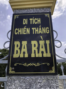
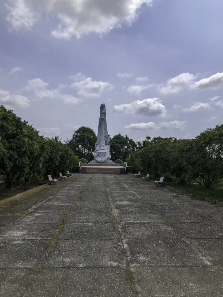
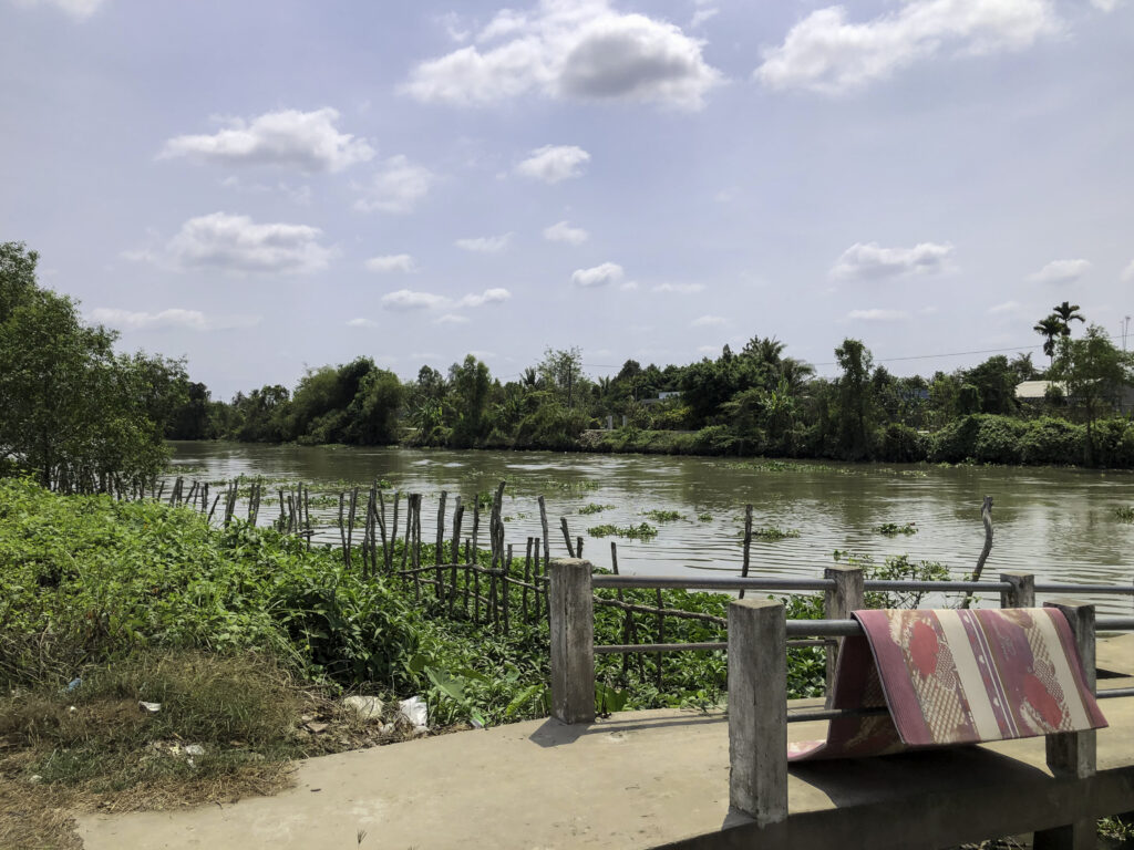
Driving down a smaller road along the seemingly endless and straight canals towards the main river, I noticed that the canals were wider than back at Ap Bac further away from the river. They were still straight though so I assume they are man-made. After about six kilometers there was a sign to turn left to follow another road. As we drove through a small village, we arrived at one of those for the Mekong Delta characteristic arched bridges. This bridge was built over the Rach Ba Rai river which feeds the Mekong River further south. Just a couple of hundred meters down river we saw the small fenced park with the large monument. We had come to the “Ba Rai Victory Vestiges” site. The monument had a boat weirdly cast in to it. As the gate was locked and there was no additional information about the site, we turned to internet for more information.

This area had been the target of a large Mobile Riverine operation from September to October 1967. Operation Coronado IV was a joint operation between Brown Navy, infantry and air units. The battle at this site stood on September 15th as described on this excellent link: https://history.army.mil/books/Vietnam/7-ff/Ch4.htm
The battle
After having studied the map and the story about the battle, we concluded that the monument is right on the spot where some of the heaviest fighting took place. The Viet Cong fighters was waiting for the U.S. forces coming up the river with their Monitor boats and troop carriers. As they came within range, the Viet Cong opened fire and the battle was on. The battle raged on the whole day along the river and inland as U.S. troops managed to land on the banks.
It was only as dark fell and the Americans started to prepare their night defensive positions that the shooting faded. After a long night when the sun rose, the Americans sent out patrols to secure the area. Checking around 250 bunkers, they found 79 V.C. bodies. This battle had cost the V.C. dearly. This was not a victory for the Viet Cong in the way Ap Bac was although it probably had some components that can be described as a success for the Viet Cong. They managed to seriously damage som of the U.S. boats and delaying their operations so other fighters could clear the area. This was a large complex U.S. operation that was held back by relentless resistance from the Viet Cong. Over time as American tactics and enormous firepower gave them the upper hand before they were able to clear the area from Viet Cong and secure it.

Exploring the battle site
We took some time to explore the area. We couldn’t find any real traces of the battle, but we believe that with a bit more time the site would probably reveal some of its violent history. At battle sites like this it is often possible to find old bunkers and craters. Spent shell cases, grenades and parts of weapons and uniforms area also often lying around. Finding something depends on how much human activity there has been there since the war.
The Mekong Delta was a highly contested area during the Vietnam War. Being called the rice bowl of South Vietnam, it was the source of food for millions of people, waterways provided transportation and areas like the Plain of Reeds provided shelter. Of course the Viet Cong took advantage of that. Almost anywhere you go, you will find yourself at a site where a battle or large operation took place. Every little canal would have seen ambushes against the American boats on patrol and along every major river flow, there were numerous American bases and camps.
This makes the Mekong Delta as rewarding as any other place in the country for the history traveler when it comes to exploring war sites. We have only just begun our journey to explore and document these sites.
JT
How to get there:
Follow the QL1A west from My Tho past the AP Bac battlefield. At the turn off to DT875B from QL1A there is a small sign with the text Khu Di Tich Chien Thang Ba Rai. Follow the little road straight south for about 7 kilometers where you turn east towards the site.
Decimal coordinates: 10.373561, 106.084605
At same canal, South Vietnamese Navy. 21st and 27th River Assault Groups fought a bloody battle with Communist forces on Sep 29, 1965
Good info. Thank you. I did not know that.
/Jonas